J's maps & co.
Tuesday, April 3, 2012
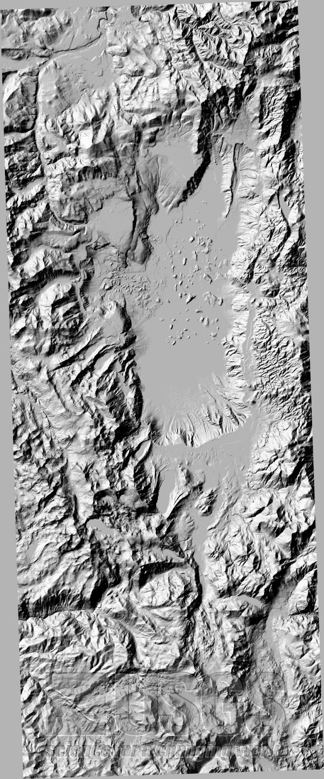
dem map
http://tahoe.usgs.gov/DEM.html
A DEM map is a map that shows a 3-D representation of the Earth's surface. This is a DEM map of Lake Tahoe from the USGS. You can see where the lake is in the the center and see the much taller mountains surrounding it.
No comments:
Post a Comment
Newer Post
Older Post
Home
Subscribe to:
Post Comments (Atom)
No comments:
Post a Comment